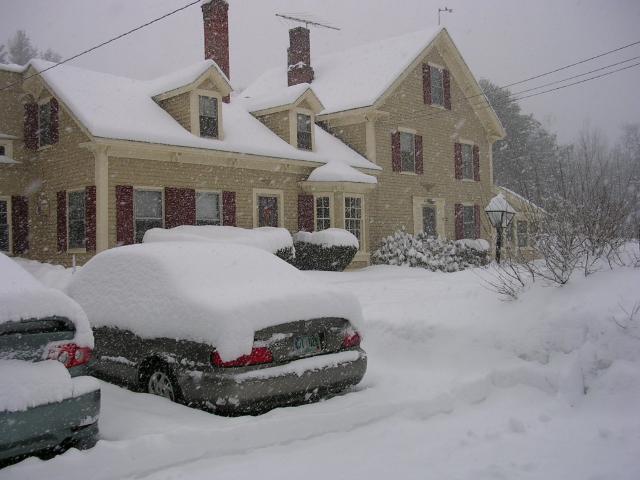
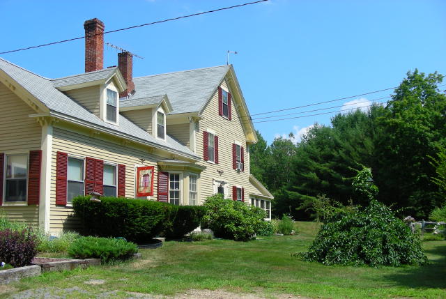
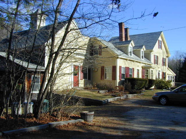
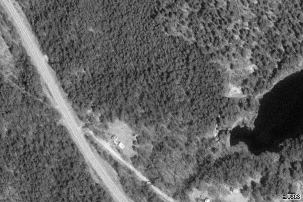
Converse Meadow Pond, Rindge, New Hampshire
Local Radar

Local Radar

Rindge Data
Graphs and Gauges
Detailed Weather
Detailed Reports
CWOP (DW6885)
CWOP MESO Data
Weather Underground (KNHRINDG3)
Maps
Mesomap
Temperature
Heat Index
Windchill
Humidity
Radar
Dew Point
Wind
Visibility
Visible Satellite
Satellite
Fronts
Snow Depth
Jet Stream
Flight Rules
Forecast Maps
Temperature Forecast
Maximum Temperature Forecast
Minimum Temperature Forecast
Dewpoint Forecast
Prevalent Weather
12Hr Probability of Precip.
Sky Cover
Health Maps
UV Forecast
Air Quality
Peak Air Quality Index
Weather Station
Davis Vantage Pro 2 w/Weatherlink-IP
From RainManWeather
Current Conditions

Updated: 11:03pm on 2/12/11

(location) (KNHRINDG3 on Weatherground)

Currently:
20.7°

Clear
Clear

High: 33.8° 
(12:45pm) 
Low: -4.2° 
(2:25am)
Wind: 2 mph from the WNW
Gust: 3 mph
Today's High Wind: 13 mph (7:45pm)
Humidity: 61%
Pressure: 29.95 in  (Steady) 
Pressure Rate: 0.006 in/hr
Dew Point: 9.4°
Wind Chill: 18.5°
Heat Index (feels like): 22.6°
Comfort Level: Uncomfortably Cold
Temperature Rate:  0.37°/hr
   
NOAA 7 Day Forecast
 
5 Day Forecast
 
Sun Mon Tue Wed Thu
Clear Clear Clear Clear Clear
Chance Snow Chance Snow Clear Partly Cloudy Mostly Cloudy
29° 38° 22° 38° 45°
25° 14° 23° 32°

Records and Normals
 
Temperature Forecast Normal Record
High 29° 31° 46°
(2005)
Low 25° 11°
(2003)
 
Weather Advisories
No Warning
Full Advisory Text...
Northeast Weather Map


Almanac
 
Sunrise:  
6:47am
Moonrise: 
11:13am

Moon Phase:
68%

Sunset: 
5:13pm
Moonset:  
2:02am
 Star Chart...
Rainfall Totals
Hourly Rain 0.00 in
Daily Rain: 0.00 in
Monthly Rain: 0.02 in
Yearly Rain: 0.32 in
Normal Rain, month to date: 0.00 in
Normal Rain, year to date: 0.00 in
Local Weather Exchange® Network
Station ID

City 
(Click for Map Location)

Neighborhood 
(Click for History)
Last Update (Date & Time)

Temperature
 (°)

Dew
Point (°)
Humidity 
(%)
Wind 
(mph)
from the Wind Gust 
(mph) 
Pressure (in) Hourly
Rain (in)
KNHRINDG5 Rindge Town Pines

02/12 22:59:48

19.8

32.0

35

2

West

3

28.56

0.00

KNHRINDG6 Rindge Jay Dr

02/12 22:58:59

21.5

0.0

0

0

North

0

---

0.00

KNHRINDG3 Rindge Converse Meadow Pond

02/12 22:59:51

20.5

9.0

61

2

WNW

7

29.95

0.00

MC0500 Ashburnham APRSWXNET Ashburnham MA US

02/12 22:30:00

22.0

7.0

52

3

NW

19

29.84

0.00

KMAASHBU2 Ashburnham Sunset Lake Area

02/12 22:59:50

20.8

6.0

52

4

WNW

9

29.97

0.00

KNHFITZW2 Fitzwilliam Collins Pond Road

02/12 22:59:37

20.2

10.0

65

4

WNW

4

29.98

0.00

KMAROYAL1 Royalston Windhorse Farm

02/12 22:58:11

19.6

8.0

60

8

WNW

12

29.88

0.00

MAS884 Royalston APRSWXNET Royalston MA US

02/12 22:26:00

20.0

8.0

59

8

WNW

16

29.88

0.00

KNHTEMPL3 Temple Temple Neighborhood Weather

02/12 22:45:21

23.3

7.0

49

2

West

15

29.86

0.00

MRYLM3 Athol HADS BIRCH HILL DAM USARMY-COE

02/12 22:30:00

22.0

0.0

0

0

North

0

0.00

0.00

KMAROYAL2 Royalston Royalston Center

02/12 22:59:51

20.8

8.0

57

0

NW

0

29.81

0.00

MMACN3 West Peterborough HADS NUBANUSIT BROOK AT MACDOWELL DAM NH US

02/12 22:30:00

23.0

0.0

0

0

North

0

0.00

0.00

KNHPETER3 Peterborough Region 14 ATC/ConVal HS

02/12 22:59:30

23.2

4.0

44

4

SW

0

29.92

0.00

KMAGARDN4 Gardner Temple St

02/12 22:59:30

19.9

-7.0

29

2

WNW

12

29.86

0.00

KNHWINCH2 Richmond WA1NHP

02/12 22:59:48

21.2

8.0

55

6

NW

6

29.91

0.00

KMAEASTT2 East Templeton S. Main St. East Templeton

02/12 22:57:27

19.9

-16.0

19

1

WNW

10

29.96

0.00

MC5618 Fitchburg APRSWXNET Fitchburg MA US

02/12 22:28:00

23.0

7.0

50

3

NW

13

29.87

0.00

KMAWESTM5 Westminster East Main St.

02/12 22:59:48

22.5

3.0

43

6

WNW

9

29.83

0.00

MD6237 Marlborough APRSWXNET Marlborough NH US

02/12 22:27:00

21.0

10.0

61

0

ESE

2

30.11

0.00

MC6480 Townsend APRSWXNET Townsend MA US

02/12 22:33:00

27.0

11.0

51

4

WSW

20

29.90

0.00

KNHWILTO4 Wilton Pete and Jane's Neighborhood

02/12 22:59:49

24.3

9.0

52

0

WNW

10

29.91

0.00

KNHBROOK6 Brookline Brookline Airport (NH16)

02/12 22:57:51

25.1

10.0

51

5

WNW

22

29.93

0.00

KNHMILFO1 Milford Mile Slip Road

02/12 22:59:43

24.1

-9.0

22

2

WNW

2

29.56

0.00

KNHBROOK2 Brookline Hillside Drive

02/12 22:56:25

25.6

7.0

45

0

NNW

12

29.93

0.00

Full Advisory Text
No Warnings
Weather Underground PWS KNHRINDG3  [LOGO]PWSweather.com

© Ambient Weather and Weather Underground
 Never base important decisions on this or any weather information obtained from the Internet
Updated Automatically by Ambient Weather's Virtual Weather Station  V14.01